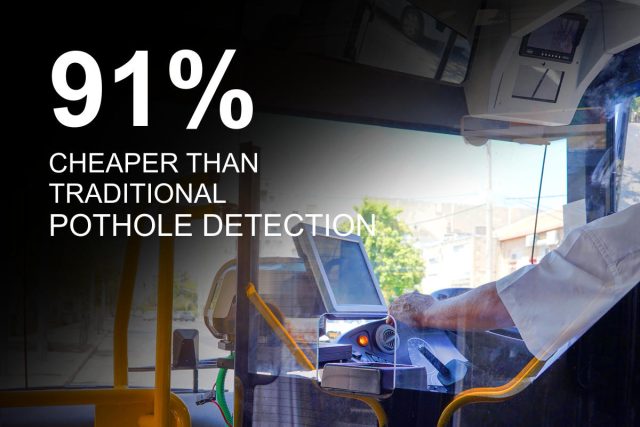
Early in the morning, the bin-lorry driver starts his truck and sets off on the round. Simultaneously, a map of the town’s streets and roads starts to update.
At 8 am the Highways Manager looks down at his phone and sees that every pothole that the bin lorry drove over is now clearly marked on the map.
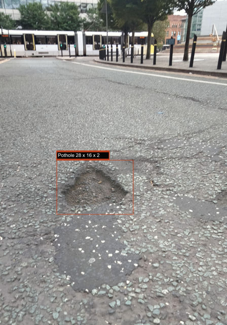
In the course of a week or two, all potholes in the district are logged and plotted on the map with the dimensions of each one accurately recorded.
All this with no need for expensive hardware: just a simple dashboard video camera and our specially-trained AI software.
Ask us about the Terragrid system, where bin lorries become road survey vehicles.